MitSpor
Share your routes and tracks, on water and on land. Upload GPX files, draw new routes, record your trip with the app – and share it all with a link.
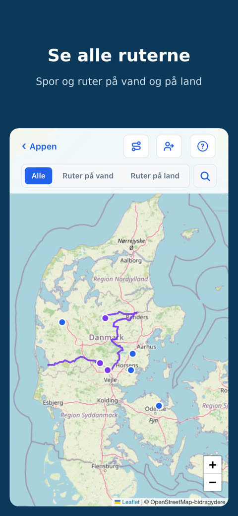
All your trips on one map
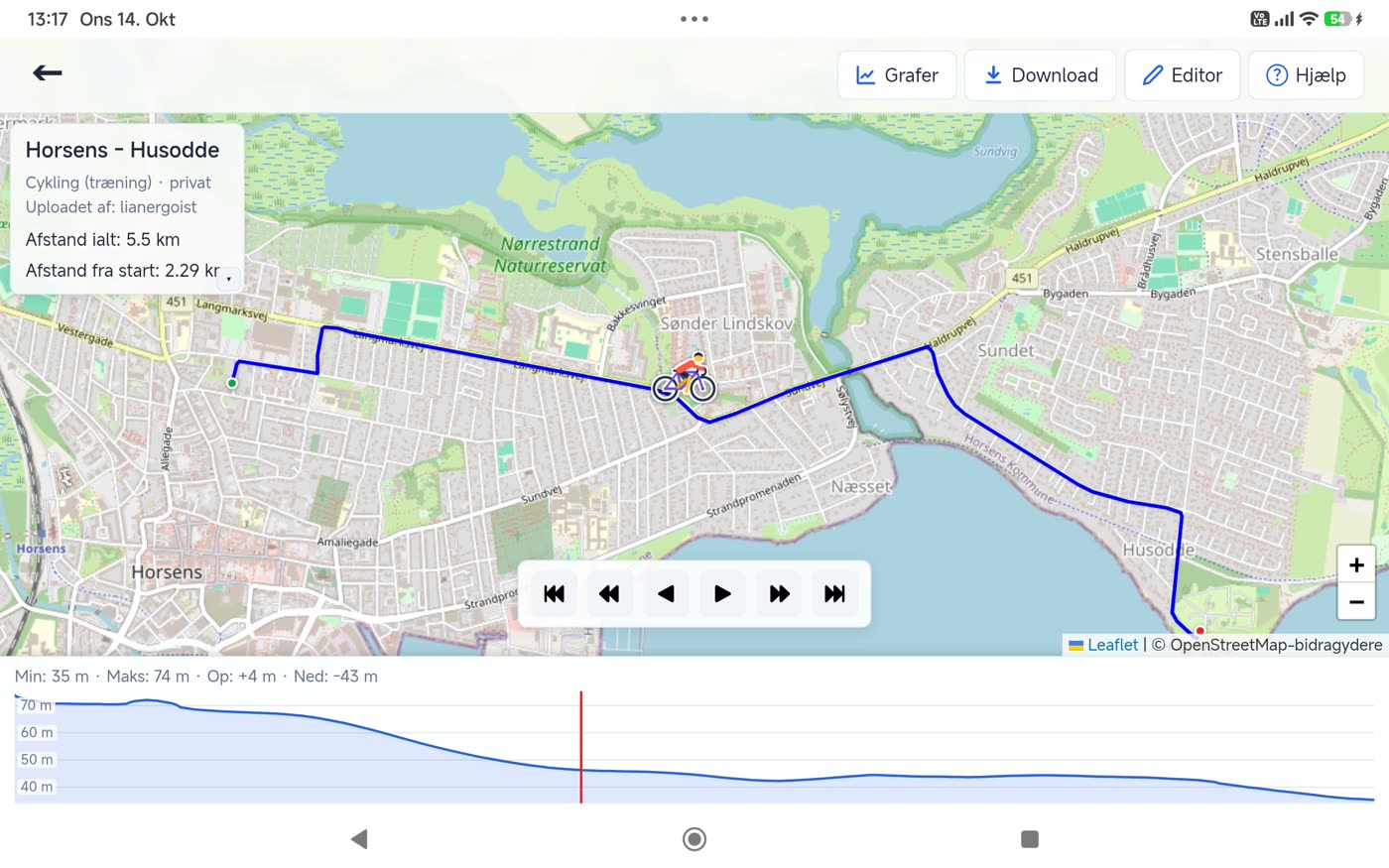
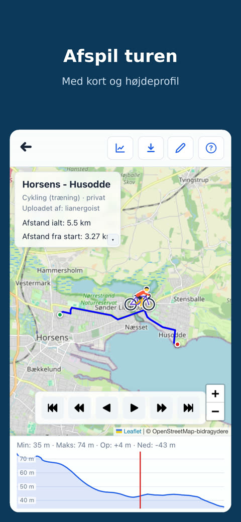
MitSpor is made for sharing tracks and routes – on the water by kayak, canoe and SUP, and on land hiking, running and cycling. Upload GPX files from your watch, phone or GPS, or draw a new route directly on the map. Each trip gets its own page with distance, time, speed and elevation profile, and you can play the trip back on the map.
- Public – everyone can see the route, and it can be found in search.
- Private – only you can see it, unless you send a share link to that particular route.
You also decide whether others may download the GPX file. Anyone can see the public routes on the map without logging in.
The website and the app are in Danish.
Record – and go live
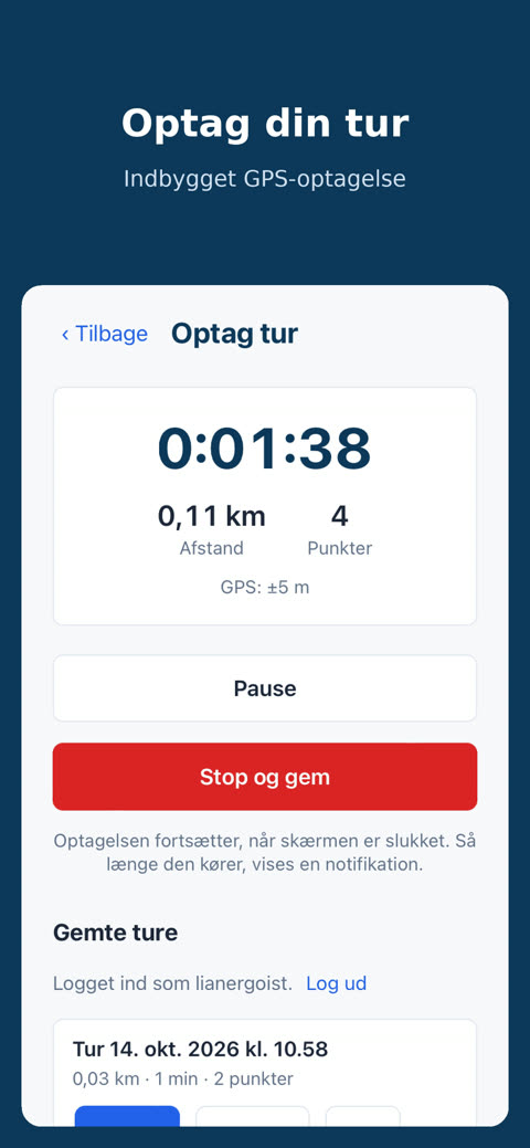
With the MitSpor app you record the trip with your phone's GPS. Recording continues when the screen is off, and it also works without a connection. The trip is saved on the device as you go, so it is not lost if the app is closed, and it is uploaded when you are back online. You can also send the trip live, so your family can follow along on the map.
Your location is only used during a recording that you have started yourself.
Stages and multi-day trips
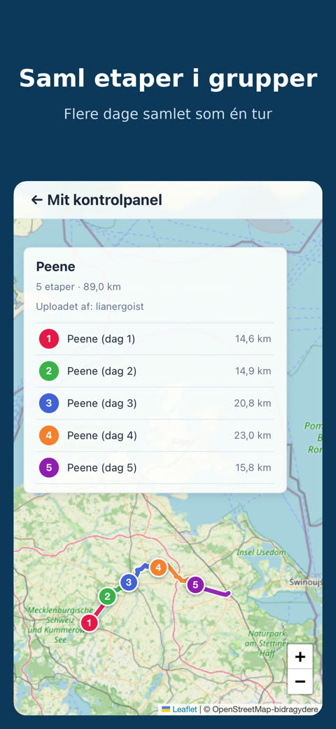
A trip over several days can be collected in a group, so all the stages are shown as one trip, and you can flip from stage to stage.
The editor
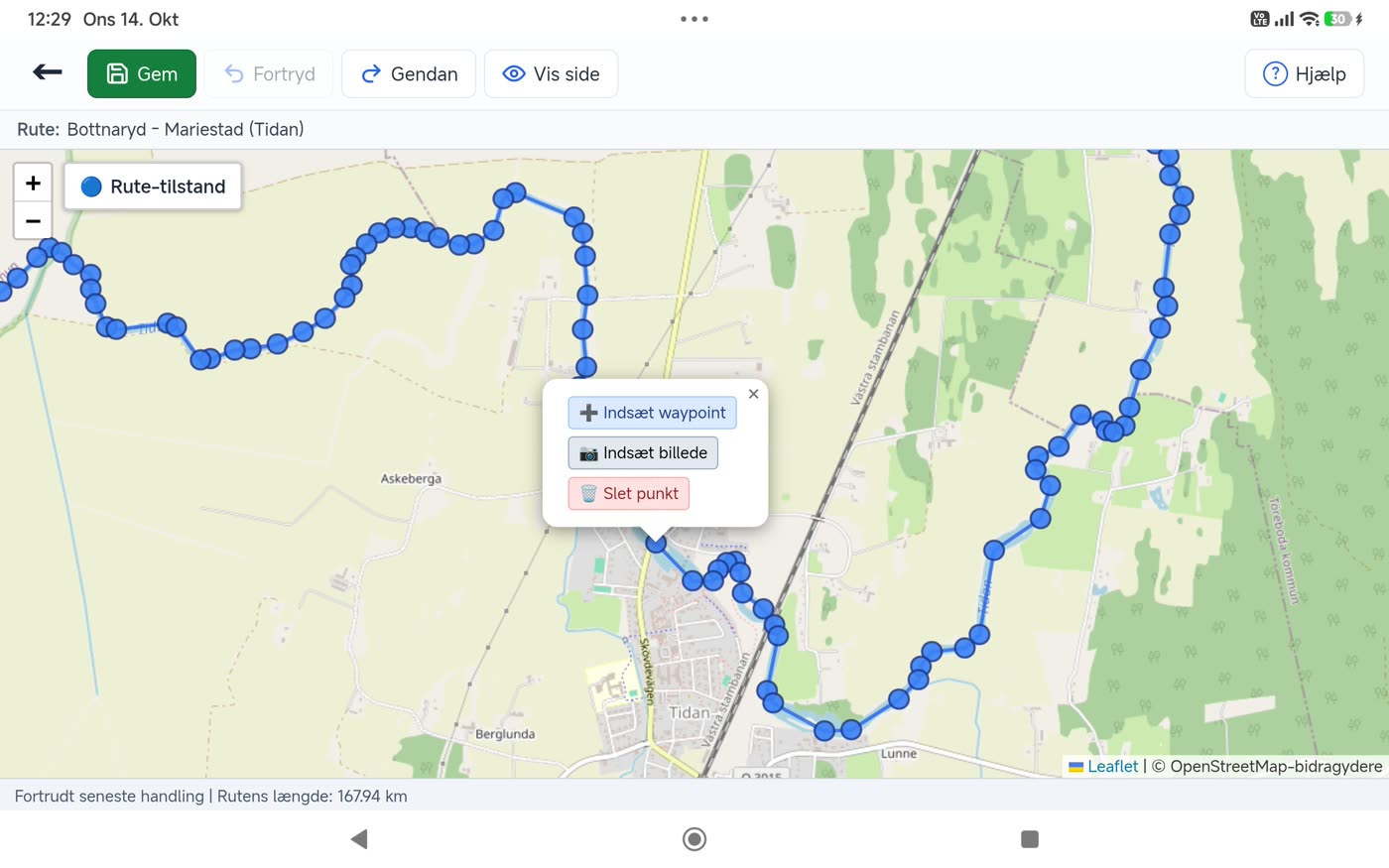
In the built-in GPX editor you can move and delete points, thin out the track, fetch elevation data and insert waypoints, comments and pictures along the way. In the control panel you choose what the route's page should show.
Your data is yours
- No ads and no tracking or advertising cookies.
- Your data is not shared with anyone and is stored on a server in Denmark.
- The map comes from OpenStreetMap via MitSpor's own server, so OpenStreetMap cannot see what you are looking at.
- You can download all your data and delete your account whenever you like.
Behind the scenes
MitSpor is written in PHP and MySQL with plain JavaScript and Leaflet for the maps – no frameworks and no build step. The app for Android and iPhone/iPad is built with Capacitor: it shows the website and has a built-in GPS recorder that works without a connection.
The source code is on GitHub: github.com/lianergoist/mitspor.